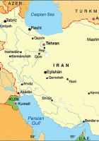
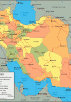
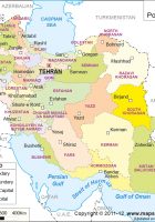
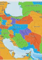
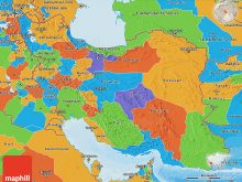
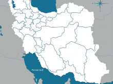
Political Map of iran
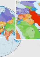
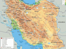
political map of iran: map of iran and bordering countries, where is iran on the world map, iran states map, map iran and surrounding countries, physical map of iran, iran provinces list, iran map google, iran road map
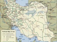
political map of iran
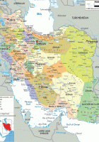
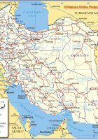
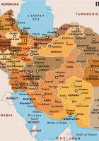
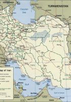
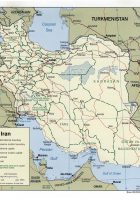
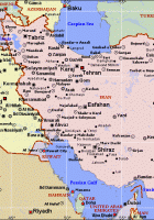
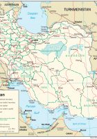
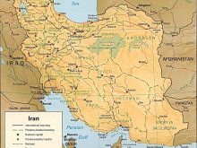
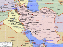
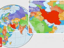
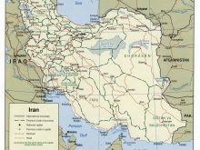
Iran is bordered by Afghanistan, Armenia, Azerbaijan, Iraq, Pakistan, Turkey, and Turkmenistan.
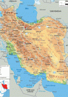
Most of the country is situated on the Iranian Plateau a geological formation in Western and Central Asia, with the exception of the coastal regions at the Caspian Sea and the Khuzestan Provincein south west at the Persian Gulf.
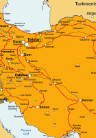
The country has a population of 78,2 million people. Largest city and capital is Tehran. Other major cities are Mashhad, Isfahan, Karaj, Tabriz, Shiraz, Ahvaz, and Qom. Spoken language is Persian Farsi, official. Official religion is Shia Islam.
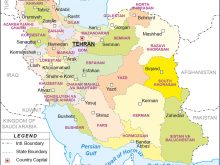
political map of iran
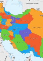
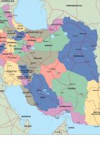
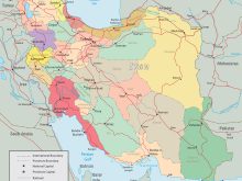
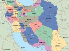
Iran is divided into five regions with thirty one provinces. The five regions are Tehran, Isfahan, Tabriz, Kermanshah and Mashhad.
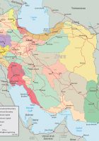
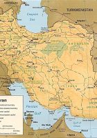
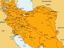
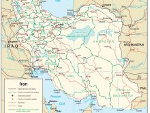
Map shows Iran and the surrounding countries with international borders, provincial boundaries, the national capital, provincial capitals, major cities, main roads, railroads and major airports.
Recommend this page: If you would like to recommend this political map of iran page to a friend, or if you just want to send yourself a reminder, here is the easy way to do it. Simply fill in the e-mail address and name of the people you wish to tell about wpmap.org, your name and e-mail address (so they can reply to you with gracious thanks), and click the recommend button. The URL of this site will be included automatically. You may also enter an additional message that will be also included in the e-mail.

