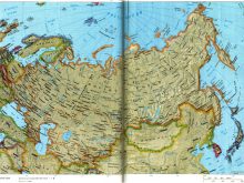
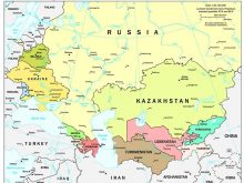
Political Map Europe
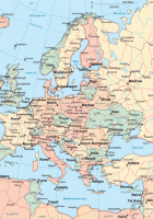
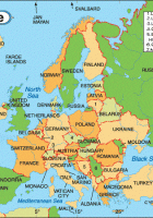
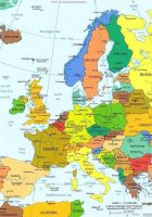
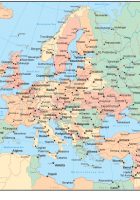
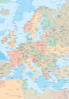
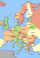
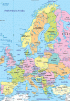
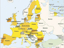
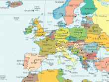
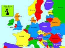
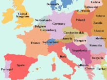
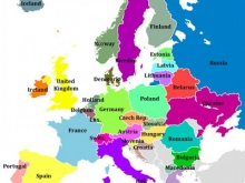
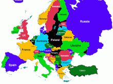
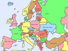
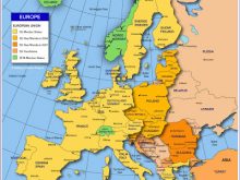
Political Map Europe: Political map of Europe, showing the countries of Europe.
Political map of Europe depicts the geographical boundaries of all the European countries, along with their national capitals, and other primary cities. Country capitals are noted in red, and the international borders of all 50 sovereign states, and five with limited recognition, that make up Europe are shown. Covering about 2% of the earth’s surface, Europe is the second smallest continent in the world, with a total area cover of 3.93 million square miles.
Political Map Europe
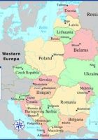
Central Europe, sometimes referred to as Middle Europe or Median Europe, is a region of Europe lying between the variously defined areas of Eastern and Western Europe and south of Northern European countries.
Recommend this page: If you would like to recommend this Political Map Europe page to a friend, or if you just want to send yourself a reminder, here is the easy way to do it. Simply fill in the e-mail address and name of the people you wish to tell about wpmap.org, your name and e-mail address (so they can reply to you with gracious thanks), and click the recommend button. The URL of this site will be included automatically. You may also enter an additional message that will be also included in the e-mail.

