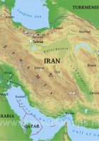
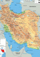
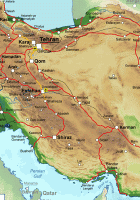
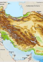
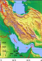
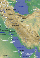
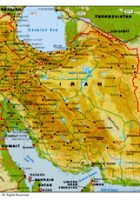
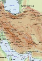
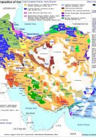
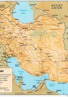
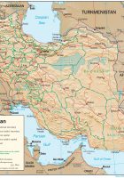
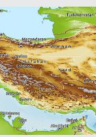
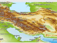
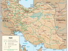
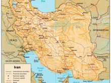
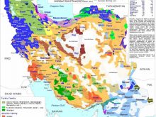
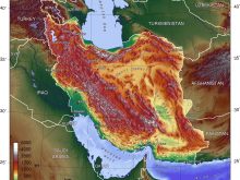
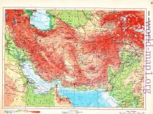
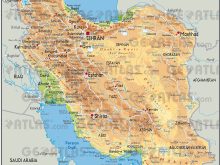
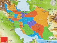
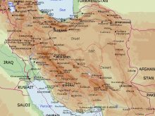
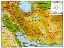
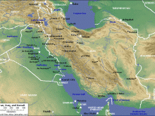
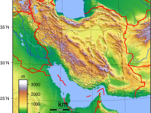
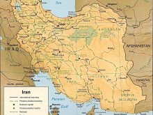
Physical Map of iran
physical map of iran: physical geography of iran – iran physical features – iranian plateau physical map – political map of iran – climate of iran – iran mountain ranges – iran geography
geographical map of iran
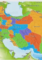
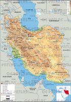
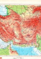
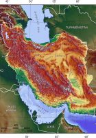
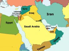
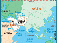
It is bordered to the northeast by Turkmenistan; to the northwest by Armenia and Azerbaijan to the south by the Persian Gulf and the Gulf of Oman; the east by Afghanistan and Pakistan, and to the west by Turkey and Iraq. It shares coastline with Caspian Sea, Gulf of Oman and Indian Ocean. Iran is centrally located in Western Asia, Eurasia and the Strait of Hormuz and so it has very geostrategic importance.
Recommend this page: If you would like to recommend this physical map of iran page to a friend, or if you just want to send yourself a reminder, here is the easy way to do it. Simply fill in the e-mail address and name of the people you wish to tell about wpmap.org, your name and e-mail address (so they can reply to you with gracious thanks), and click the recommend button. The URL of this site will be included automatically. You may also enter an additional message that will be also included in the e-mail.

